, the parish’s Geographic Information System coordinator, uses GPS to map levee heights. Helping him is Maurice Wolcott with the LSU AgCenter.")
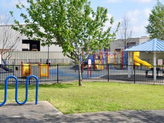
For the first time in five years, St. Charles Parish residents will be able to view an up-to-date map of the parish that highlights streets, evacuation routes, council districts, parks and recreation sites and other landmarks like boat launches and historical sites.
The parish was last mapped out for the public in 2005, but the parish did not have the technology to fill the map with much data. Now that the parish is working towards creating a Geographic Information System Office, the maps are much more high-tech and are produced in house.
“It’s very colorful and provides much more information than the previous map did,” Luis Martinez, the parish’s GIS coordinator, said. “The map doesn’t just show the location of streets, it also shows the location of industrial areas, business parks and buildings from all around the parish such as post offices and libraries. A new addition to the map includes a mileage chart that can help readers discover the mileage between any two communities within the parish and a list of recreational facilities.”
To compile data for the map, Martinez tapped into the resources of several departments in the parish.
“Any data they had about the parish was put into the program to produce the map,” he said.
Martinez also combed the area using GPS to map out data points, such as government buildings, park boundaries and historic sites.
“A lot of the work was done by hand and GPS,” he said. “We would have to go to areas around the parish and actually collect GPS data so that we could go back to the office and use our GIS software to produce a map of the area.”
Currently, there are only 2,000 copies of the map available. However, the parish will soon have 15,000 to 20,000 available for the public that will include spots for advertisements after a local company prints them.
But Martinez isn’t stopping there. He is also working on a Web-based mapping application that will allow parish residents to view the map online. Soon, parish residents will be able to go online to obtain a wealth of information such as parcel data, elevations and zoning boundaries.
Similar to Google maps, Martinez said residents will be able to click on certain areas of the map to get a “street view” that corresponds to their particular area of interest.
This street view shows the user exactly what they would see if they were standing on the ground in the area selected on the map.
“With these online maps, we will also be able to show much more data than ever before and make the information easily accessible to parish residents. Our plan is to make information publicly available to make the entire process much more efficient and streamlined,” Martinez said.


Be the first to comment