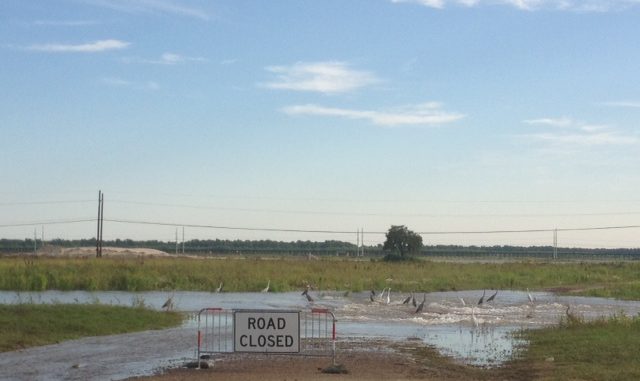
The Wetland Watchers Park and the Spillway Park, both in Norco, are now open to the public.
Wetland Watchers Park, 1650 Lower Guide Levee Road, and Spillway Park, on Lower Guide Levee Road at Airline Highway have been closed since Hurricane Barry flooded areas of St. Charles Parish.
The U.S. Army Corps of Engineers, New Orleans District, began closing the Bonnet Carré Spillway on March 26.
The spillway is designed to ensure that a maximum river flow of 1.25 million cubic feet per second is passed through the Mississippi River and Tributaries system at New Orleans.
Bonnet Carré Spillway, located 28 miles above New Orleans, is a vital element of the multi-state Mississippi River and Tributaries system, which uses a variety of features to provide flood risk reduction to the alluvial Mississippi Valley from Cape Girardeau, Mo., to Head of Passes, La., according to the Corps of Engineers. Located on the east bank in St. Charles Parish, it can divert a portion of the river’s floodwaters via Lake Pontchartrain into the Gulf of Mexico, allowing high water to bypass New Orleans and other nearby river communities.
The structure consists of a control structure and a floodway. The control structure is a concrete weir that parallels the river for a mile and a half. It consists of 350 gated bays, each holding 20 timber “needles,” for a total of 7,000 needles. When needles are removed, river water flows into the floodway and is conveyed nearly six miles between guide levees to the lake.


Well, the article told us a lot about why the spillway was constructed, etc., but didn’t tell us much about the Wetland Watchers Park, which headlined the article. Most importantly, how are we supposed to reach the park when water is sometimes more than 2 feet deep on the roadway beneath the Canadian Railway trestle.