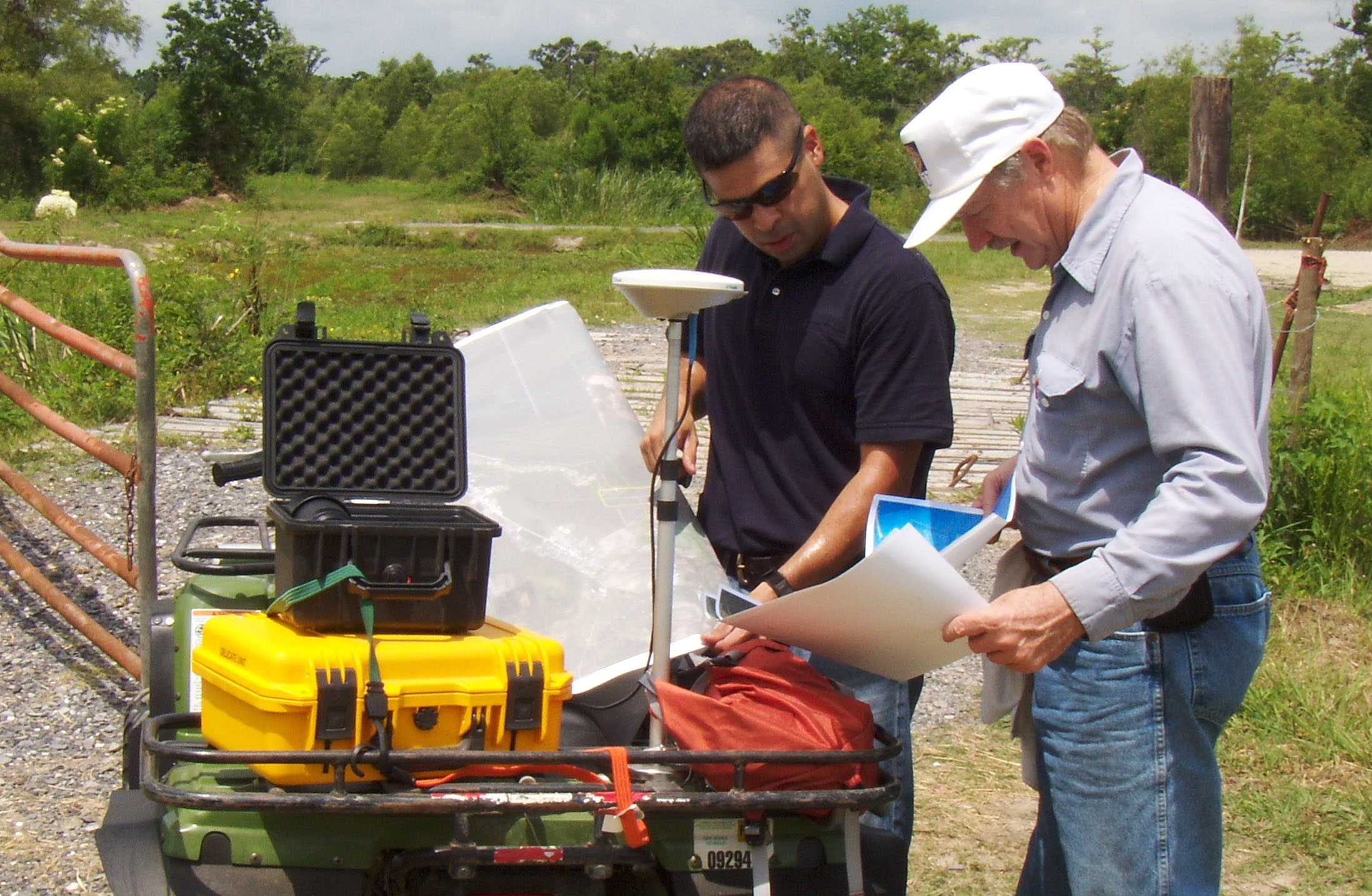
Luis Martinez (left), the parish’s Geographic Information System coordinator, uses GPS to map levee heights. Helping him is Maurice Wolcott with the LSU AgCenter.

© Copyright 1999 - 2026 St. Charles Herald-Guide
Be the first to comment