
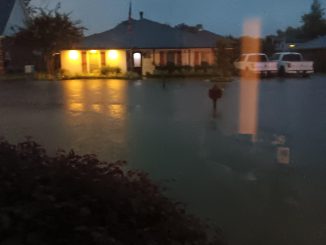
With the Mississippi River flush with the high waters of the Red River and heavy northern rains, Bonnet Carre’ Spillway Road was quickly flooded and closed.
The two-lane asphalt road, which connects Norco and Montz as a popular shortcut for motorists, is closed until further notice because of water covering the road. Airline Highway is the alternate route.
Also, ATV riding trails have been closed on the Bonnet Carre Spillway since July 3, as well as the Spillway Radio-Controlled Airfield, which are all covered by water.
Additionally, St. Charles Parish Highway 12 (SC 12) was closed by St. Charles Parish Public Works July 5, also due to high water over the roadway.
Corps spokesman Ricky Boyett said the Mississippi River is expected to crest at 15.5 feet on the Carrollton gauge in New Orleans by July 20, triggering the U.S. Army Corps of Engineers to step up levee inspections. The Corps expects the river to start falling shortly after it crests.
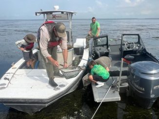
All other recreational areas in the spillway, including the project boat launches and the St. Charles Parish Recreation area near US Highway 61, remain open for public use.The Bonnet Carre’ Spillway is a control structure that protects New Orleans. Boyett said it allows 1.25 million cubic feet of water a second to flow.
“At 15 feet, we watch more carefully or inspect more carefully the Mississippi River levees,” Boyett said. The Corps will look for seepage or levee problems that could compromise the integrity of the structures. “We don’t have any areas of high concern. We think we’ll be fine for this season, but Mother Nature can do some amazing things.”
Boyett also advised, that at this river level or higher, there will be no waivers to do subsurface work within 15 feet of the river for anyone, including the Corps.
Be the first to comment